2023
SP2877 : A pair of BISF Type A houses, Charter Avenue, Canley
taken 2 years ago, near to Westwood Heath, Coventry, England
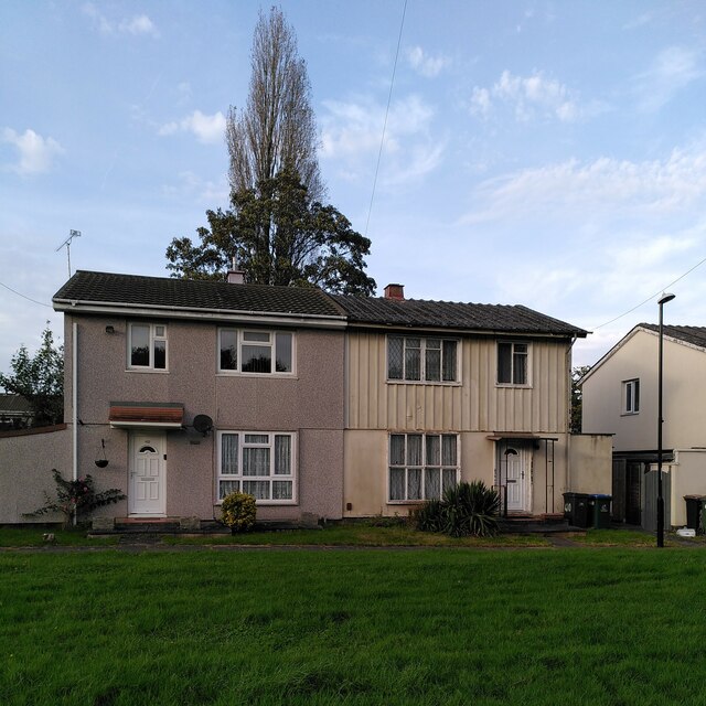
A pair of BISF Type A houses, Charter Avenue, Canley
There are around two hundred of these houses in Canley, a post-1945 Coventry council estate; for more information about them, see SP3077 : BISF 'Type A' houses, Freeburn Causeway, Canley, which links to some other examples depicted on Geograph, from various parts of Britain. In brief, they were an ingenious attempt to turn metal-bashing war industries into peacetime makers of prefabricated housing, to address an acute housing shortage at a time when labour, and especially skilled building labour, was also in short supply. The architect Frederick Gibberd and the engineer Donovan Lee designed a steel house, with steel panels set in a steel frame, to be made by the British Iron & Steel Federation (BISF), in prefabricated parts that could be assembled easily.
The right-hand house appears little changed, with steel panels and steel-framed windows visible - a well-preserved historic building, but a rather chilly one to live in, I suspect - the much-modified left-hand house looks much cosier.
The right-hand house appears little changed, with steel panels and steel-framed windows visible - a well-preserved historic building, but a rather chilly one to live in, I suspect - the much-modified left-hand house looks much cosier.
 Map © Crown Copyright")
TIP: Click the map for more Large scale mapping
- Grid Square
- SP2877, 23 images (more nearby 🔍)
- Photographer
- A J Paxton (more nearby)
- Date Taken
- Saturday, 7 October, 2023 (more nearby)
- Submitted
- Tuesday, 31 October, 2023
- Subject Location
-
OSGB36:
 SP 28470 77357 [1m precision]
WGS84: 52:23.6099N 1:34.9830W - Camera Location
-
OSGB36: SP 28470 77344