2017
TL8994 : Road junction looking south
taken 9 years ago, 3 km from Thompson, Norfolk, England
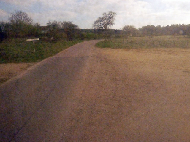
Road junction looking south
This is one of a series of pictures taken during an official tour of the churches of Stanta Military Training Area on April 7th 2017.
Heading north to Tottington church and looking back to the junction also shown in TL8994 : Crossroads south of Tottington
Heading north to Tottington church and looking back to the junction also shown in TL8994 : Crossroads south of Tottington
 Map © Crown Copyright")
TIP: Click the map for more Large scale mapping
- Grid Square
- TL8994, 3 images (more nearby 🔍)
- Photographer
- Zorba the Geek (more nearby)
- Date Taken
- Friday, 7 April, 2017 (more nearby)
- Submitted
- Friday, 7 April, 2017
- Subject Location
-
OSGB36:
 TL 8977 9487 [10m precision]
WGS84: 52:31.1196N 0:47.7301E - Camera Location
-
OSGB36: TL 8979 9494
- View Direction
- SOUTH (about 180 degrees)